Chambéry sits right at the foot of the mountains, between the Bauges, Chartreuse, and the Épine range. It’s a perfect playground for road running and trail running. I’ve been living in Chambéry for a few months, and I’m going to share my favorite running spots with you. In no time, you’re straight into nature.
Contents
Flat road running in Chambéry
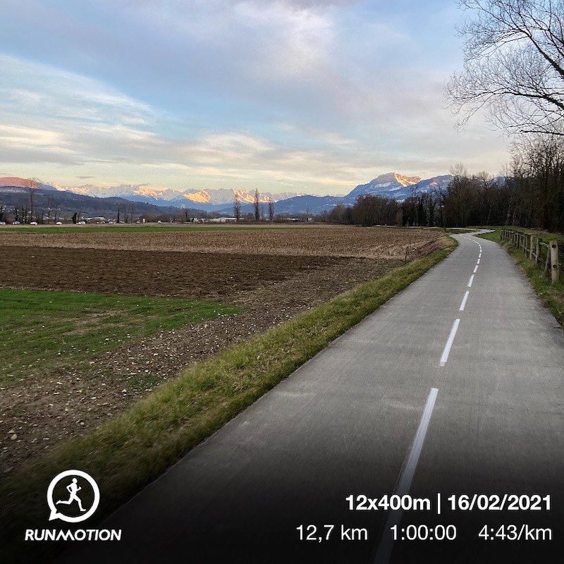
At 250 m of elevation, Chambéry offers some great flat routes, especially on the cycle path that stretches from Lac du Bourget to the Combe de Savoie.
Back in November 2020, when the government allowed outdoor exercise within a 20 km radius and for less than 3 hours, I came up with the idea of virtually “touching” that 20 km circle and getting back within 3 hours 😉 I linked Le Bourget-du-Lac to Les Marches, passing right through the center of Chambéry.
The Voie Verte is ideal for running, and just 2 km from downtown Chambéry there are no cars at all. That makes it especially enjoyable for long runs, endurance training, and marathon pace sessions.
The RunMotion Coach Chambéry Marathon training plan, for both the half marathon and the marathon, uses this cycle path for a big part of the course and takes you all the way to Aix-les-Bains. The 2022 edition of the Chambéry Marathon takes place on Sunday, October 16.
Trail runs in Chambéry
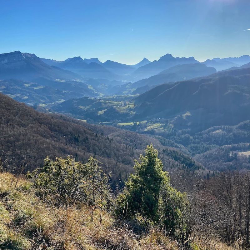
Chambéry is a key waypoint on the GR96 long-distance trail. It can take you from Samoëns, past Lake Annecy, all the way to Entremont-le-Vieux (200 km with 12,500 m of elevation gain). From Chambéry, you can head into the Bauges (north) or Chartreuse (south) by following the GR96.
Let’s start with the easiest runs and build up to the toughest.
Running in the Monts de Chambéry
The Monts de Chambéry deliver beautiful views over Chambéry and the surrounding area. You can start right from the city center, with around 2.5 km on roads to reach Chemin des Monts.
Once you’re up on the Monts, you can follow the fitness trail and push on to the Chapelle de Saint-Saturnin, with a solid descent and then a climb to reach the chapel. Depending on the paths you choose, the loop will be between 5 and 6 km.
Running in the Bauges Massif
From Chambéry, you can reach two standout viewpoints: Mont Saint-Michel and the Croix du Nivolet. Expect roughly 24 km round trip for each of these runs. Of course, you can get closer by public transport or car if you want a shorter workout.
Croix du Nivolet trail run
The Croix du Nivolet towers above Chambéry at 1,547 m. There are several options depending on your mood and training goal. The GR96 from Chambéry goes via Lovettaz and Col de la Doriaz. Once you reach the col, a flatter 3 km section to the left takes you to the Croix du Nivolet.
You can descend via the ladders just below the Croix du Nivolet. It’s a bit exposed, but you don’t need special equipment, just stay focused and place your feet carefully.
Chapelle du Mont Saint-Michel
From Chambéry, follow the cycle path to the Challes-les-Eaux lake. You can also start directly from the lake. The climb takes you past the Château des Comtes de Challes, then you simply follow the signs to the chapel. To make it a loop, you can descend via Curienne and then Barby.
Running in the Chartreuse Massif
Croix de la Coche
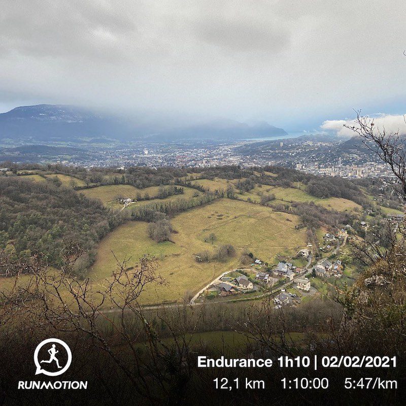
Croix de la Coche (610 m) is a favorite trail route for Chambéry runners. The loop is about 12 km.
The steps on Chemin Fontaine Saint-Martin throw you straight into the action. It climbs hard right away to reach Les Charmettes, where the Enlightenment philosopher Jean-Jacques Rousseau lived for a few years.
Then you head to Haut-Chanaz before you really enter the forest. The last few hundred meters to reach the Croix de la Coche are seriously steep.
Once you’re at the top, you can reach the cross on the left and descend by continuing toward Barberaz. The panorama over the Chartreuse and Chambéry is spectacular, a perfect reward for the climb and a great hill workout for trail performance.
Pointe de la Gorgeat
Just before reaching Croix de la Coche, you can take the GR96 on the right and head to Pointe de la Gorgeat (1,485 m) for a run of around 25 km. From this summit, the Chartreuse opens up even more, with another stunning viewpoint that’s perfect for building endurance, climbing strength, and downhill running skills.
You can return the same way, or loop back via Montagnole.
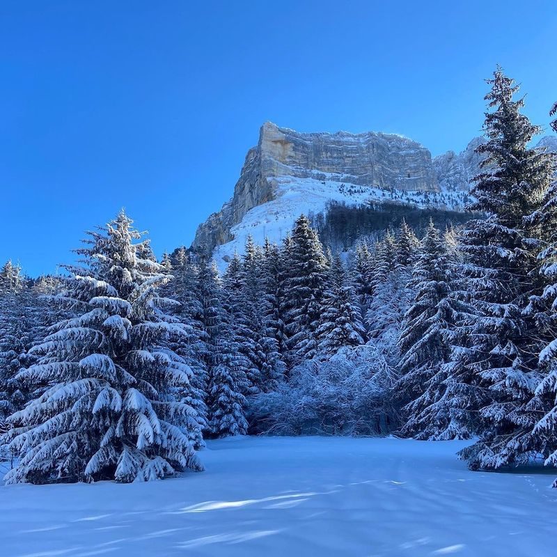
Le Granier
Rising to 1,933 m, Le Granier delivers a jaw-dropping view of Mont Blanc. From Chambéry, you can go via Croix de la Coche and then Col du Granier, but that’s still a hefty 40 km.
If you want something more reasonable, start from Col du Granier, or take the classic route via La Plagne (Entremont-le-Vieux). A few sections before the summit are a bit exposed.
Ultra-trail adventure on the GR96 starting from Chambéry
Finally, for the most adventurous trail runners, heading south and linking Chambéry to Grenoble through the Chartreuse gives you a route of around 75 km with 3,500 m of elevation gain.
In the other direction, heading north and linking Chambéry to Lake Annecy (Doussard) through the Bauges is about 60 km with 4,000 m of elevation gain, and close to 80 km if you go all the way to downtown Annecy.
I hope you’ve found route ideas that make you want to explore even more of the Savoie prefecture and its surroundings. All these routes are accessible from downtown Chambéry and don’t require any transport, unless you want to shorten your run.